Access to environmental data has been limited to a select few, creating knowledge gaps that hinder effective interventions
Discover how AI-powered analytics help agri-businesses meet rising global demand by predicting and optimizing crop yields.
-01%25252520(1).png)
A New Era of Analysis Ready Environmental Data
Amini Lite dismantles the knowledge barrier by introducing a comprehensive environmental intelligence platform, mapping landscapes in detail, and equipping users to monitor vegetation, soil moisture, water availability, and other indices. Amini Lite delivers an unparalleled user experience, ensuring everyone can leverage its power. It’s a vital tool for stakeholders across agriculture, conservation, urban planning, and environmental monitoring.
Empowering Precise Environmental Monitoring with Advanced Tools

At the core of Amini Lite is the polygon drawing tool, an advanced feature allowing users to delineate specific areas and access in-depth data for each selected region. Whether analyzing a small farm or a vast agricultural area, Amini Lite empowers users to extract data insights rapidly and easily.

Transforming Environmental Data into Practical Insights
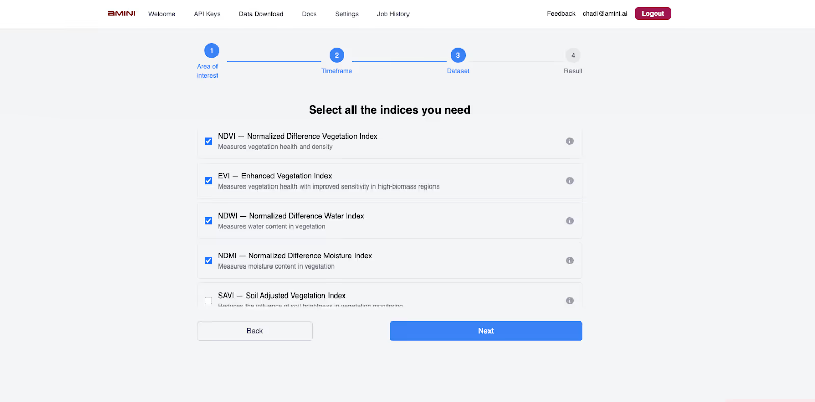
Amini Lite’s built-in indices for vegetation health, soil moisture, and water resources offer users detailed perspectives on environmental factors critical to their regions of interest. Each data layer can be dynamically analyzed, making it possible to explore historical trends and predict future shifts.

Community-Driven Environmental Intelligence
Understanding that knowledge-sharing is essential for growth, Amini Lite also includes a community hub where users can connect, discuss challenges, and share insights. The platform's collaborative environment enables a broader, cross-disciplinary approach to environmental data, fostering an ecosystem of shared learning that strengthens local and regional responses to environmental challenges.
Join our community on Slack and Discord Today.
Run your first Analysis at Amini Lite today !
By granting access to real-time, actionable data, Amini Lite empowers you and other communities to make decisions that can drive sustainable outcomes across the continent and the Global South.


